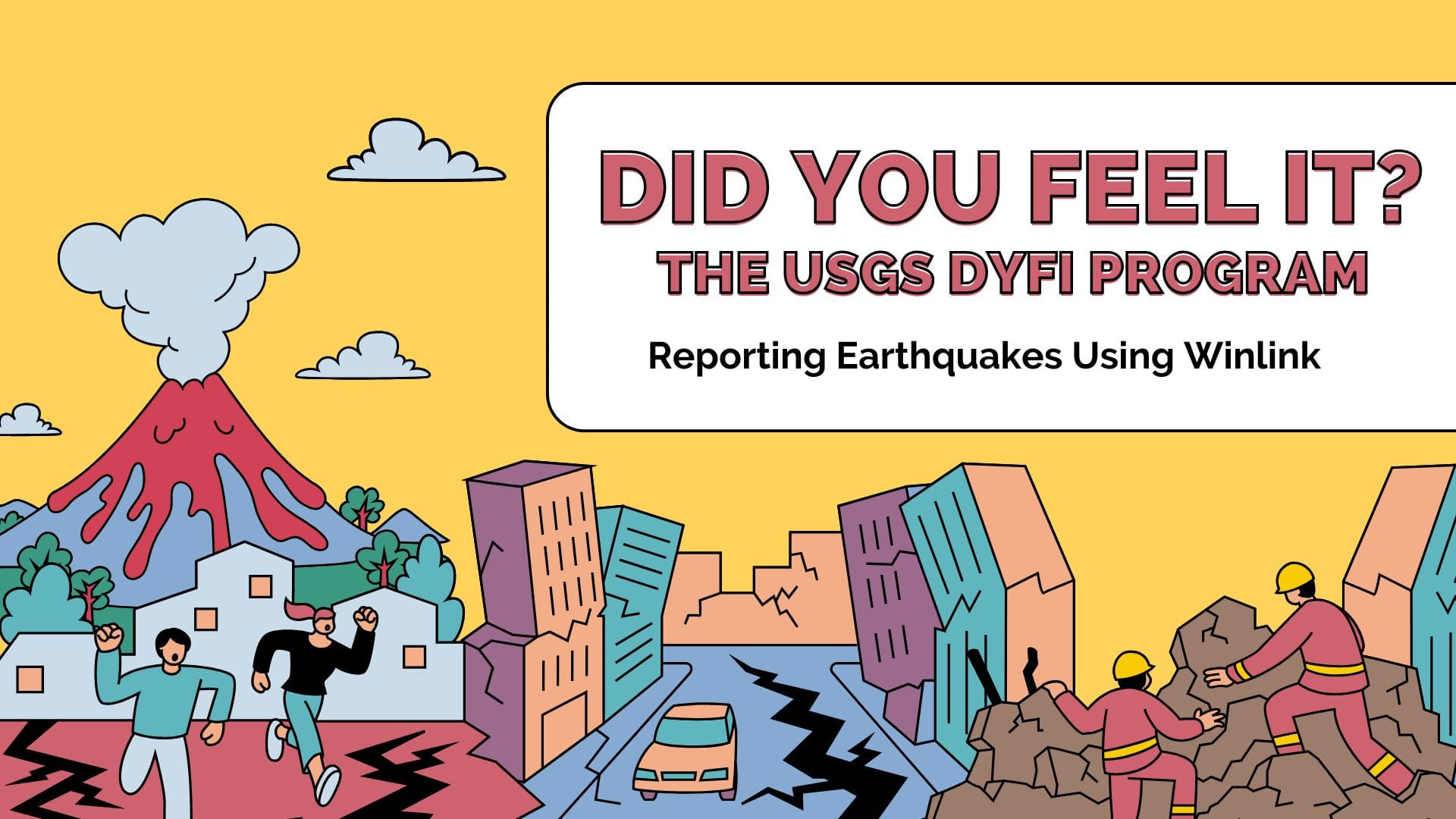
Imagine experiencing the earth shaking beneath your feet. It might be hardly felt or it may toss your around a bit, and in the aftermath, you might wonder: How can I help? With the “Did You Feel It” (DYFI) program, you can turn your experience into valuable data for scientific research, by visiting the DYFI website, or even better – through the power of Winlink. This post explores the intersection of amateur radio and earthquake reporting.
Understanding the DYFI Program
What is the DYFI System?
The Did You Feel It? (DYFI) program is an initiative that collects information on earthquake shaking from people who experienced it. This system aims to gather real-time data about how earthquakes affect individuals in different areas.
Objectives of DYFI
DYFI has clear objectives:
- To collect qualitative data on earthquake impacts from ordinary people.
- To improve the understanding of how earthquakes feel in various locations.
- To enhance scientific research with actual experiences.
The Role of Amateur Contributions
Did you know that your firsthand observations can significantly aid earthquake science? Yes! Amateur contributions are crucial. When you fill out a DYFI report, you provide unique insights that professionals may not capture. Your input can detail:
- How strong the shaking felt.
- Any damage witnessed.
- How long the shaking lasted.
Your participation not only enriches the database but also plays a role in future earthquake preparedness and response.
Enhancing USGS Data with DYFI Reports
DYFI reports enhance the data collected by the USGS in several important ways:
- They provide qualitative context to quantitative seismic data.
- They aid in mapping earthquake impacts across regions.
- They help researchers analyze public perception and behavior during seismic events.
In essence, your voice helps fill the gaps in scientific studies. The collaboration between amateurs and experts creates a more comprehensive understanding of earthquakes.
How to Report Using Winlink
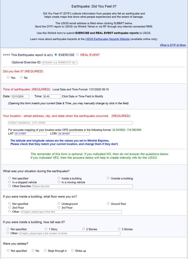
Reports are made using Winlink Templates. It’s not as complicated as you might think. Whether you’re submitting a DYFI report or just trying to connect with the emergency management community, following a clear guide makes it manageable.
Step-by-step guide for submitting a DYFI report
- First, ensure you have Winlink Express installed. If you need to set it up, visit here.
- Open the program and make sure you’re connected to the internet or a radio connection.
- Select the “New Message” option. Choose the form for a DYFI report.
- Select Template, USCG and DIFY Report. Fill out the required fields. These include your location, the earthquake’s details, and your personal observations.
- Once completed, send your report. Check for confirmation; it’s always a good idea to ensure it went through.
- View a video demo here.
Common challenges and tips for successful reporting
Many users face issues during the submission process. Here are some common challenges:
- Internet Connection: A weak connection can hinder submission. Ensure you’re in a good spot.
- Form Errors: Double-check information for accuracy. Missing details can cause rejections.
Tips:
- Always save your drafts until you’re ready to send. It saves mistakes!
- If time permits engage in forums or community groups if you run into problems. They can offer valuable tips.
Resources Available for Winlink Users
Need more help? Check out these resources:
- USGS DYFI Reports for guidance on what to include.
- Winlink’s official page offers tutorials and user guides to ease your experience.
With these steps, challenges, and resources in hand, you’ll be well-prepared to utilize Winlink effectively for your reporting needs.
The Impact of Your Report
Your report matters—more than you might think. Everyday citizens like you play a vital role in understanding earthquakes. When you submit your data, you contribute to real-world solutions. But what does that mean?
Real-World Implications of Citizen-Reported Data
Every piece of information you provide helps professionals analyze and respond to seismic events. Your experiences yield valuable insights into how earthquakes affect communities. This citizen-reported data:
- Informs emergency services about the magnitude of damage.
- Guides researchers in their studies.
- Assists in educating the public on preparedness.
According to the U.S. Geological Survey (USGS), even a single report can lead to a better understanding of ground shaking and help save lives. Remember, your voice in this process is indispensable.
Shaking Intensity Maps Explained
Shaking intensity maps visualize how strongly an earthquake affects different areas. Your contributions feed directly into these maps. By reporting your experience, you help plot areas of high and low shaking intensity. This data helps determine:
- Where to focus aid efforts.
- How to allocate resources within communities.
- When to communicate updates to residents.
Your Report in the Larger Picture
Think of your report as a puzzle piece in a larger response strategy. By sharing your experience, you support countless efforts, from emergency planning to policy-making. It’s a community effort that ultimately builds resilience.
Want to learn more? Check out these resources: USGS Earthquake Data and Winlink Express.
TL;DR: By using Winlink to submit DYFI reports after experiencing an earthquake, you contribute invaluable data to the USGS and community knowledge while enhancing your understanding of seismic events.
Leave a Reply
You must be logged in to post a comment.